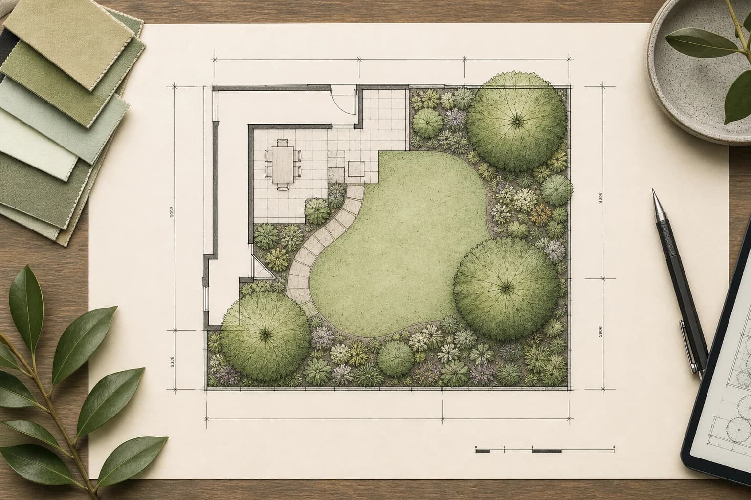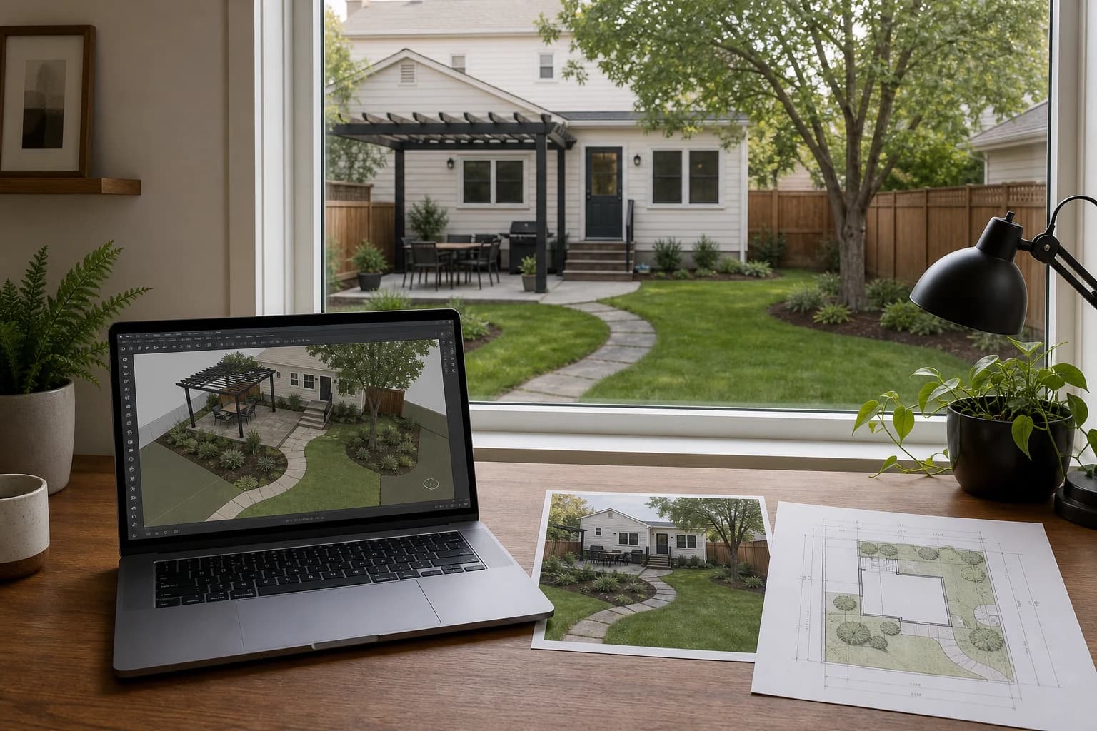
Not every yard needs 3D. A flat, small site with paths and planting may be faster in 2D. An editable model earns its time when pergola height, hillside steps, neighbor sightlines, tree-canopy occlusion, or the view from inside could change the decision.
This is a workflow and output comparison, not a claim that every tool was benchmarked on one site. Free tiers, open-source licenses, education access, and trials grant different rights.
First ask whether the problem needs a third dimension
| Question | Is 2D enough? | What 3D adds |
|---|---|---|
| Zones and paths | Usually | Limited value |
| Pergola, fence, and canopy height | Only annotations | Checks proportion and blockage |
| Slope, steps, and retaining | Needs contour/section data | Explains mass; not engineering |
| View from inside | Hard to read | Tests sightlines and composition |
| Client experience | Communicates relationships | Walkthrough and multiple views |
Six tools operate at different depths
| Tool | Best job | Editing model | Output | Boundary |
|---|---|---|---|---|
| Planner 5D | Fast homeowner 2D/3D layout | Drag, dimensions, assets | Plans, 3D, renders | Limited professional site documentation |
| SketchUp Free | Structures and spatial massing | Freeform 3D | Rotatable model | Personal noncommercial; landscape data is manual |
| FreeCAD | Dimension-driven structures | Parametric constraints | Engineering model and exchange | No ready landscape library |
| Sweet Home 3D | House, patio, furniture relationship | 2D placement synced to 3D | Plan and views | Limited terrain and planting |
| Cedreo | Professional residential proposals | Connected 2D/3D and assets | Plans, renders, presentation | Commercial license |
| Vectorworks Landmark | Landscape BIM and documents | Site, planting, data objects | Model, sheets, schedules | Highest cost and learning investment |
GardenGPT belongs before 3D; it does not pretend to be 3D
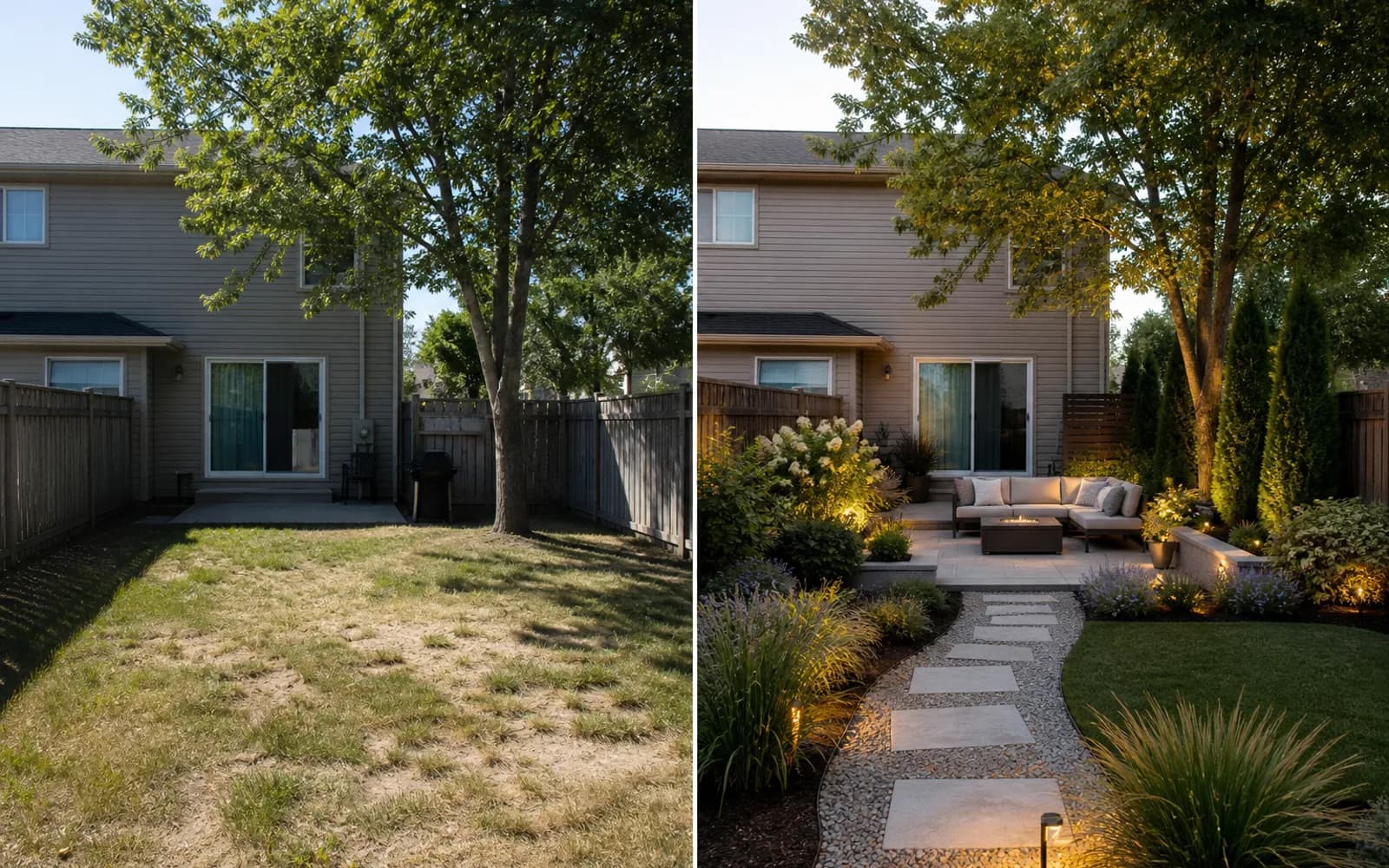
GardenGPT compares material, zoning, and style on real photos, reducing three directions to one before modeling. That reserves 3D effort for the option worth testing.
Its output is a visual concept, not a rotatable model with measurable, editable objects. Rebuild the selected direction from a measured base, levels, and fixed features. Slope, retaining, structure, and drainage still need qualified review.
| Step | Photo concept | Editable 3D |
|---|---|---|
| Input | 1–4 photos of one space | Measurements, base plan, levels |
| Fast answer | Which direction do I prefer? | Do height and sightlines work? |
| Change | Regenerate a direction | Edit specific objects and dimensions |
| Handoff | Communication reference | Model, views, professional documents |
A seven-step workflow that avoids over-modeling
- Name the height, slope, blockage, or sightline question the model must answer.
- Photograph the whole yard and sides; mark everything that cannot move.
- Compare no more than three photo concepts and reject weak directions.
- Measure boundaries, house, openings, trunks, level changes, and control dimensions.
- Build low-detail masses first; test relationships before materials and planting.
- After the relationships work, add mature planting volumes, materials, light, and cameras.
- Cross-check key views against 2D dimensions, site conditions, and qualified review.
Frequently asked questions
Does every yard design need 3D?
No. Use 2D for simple planar relationships; add 3D when height, slope, blockage, sightlines, or presentation changes the decision.
Which free 3D tool is easiest for beginners?
Planner 5D's current free tier suits drag-and-drop layouts; SketchUp Free suits massing. Confirm rights and exports.
Does GardenGPT generate an editable 3D model?
No. It compares visual directions on real photos; rebuild the choice in dedicated 3D software from measurements.
Can a 3D model calculate materials directly?
Only when dimensions, objects, and data are reliable. Concept models do not justify guaranteed quantities.
When is professional review needed?
Use qualified local help for slopes, retaining, structure, drainage, gas, electrical, fire, boundaries, and permits.
3D is valuable when it exposes relationships a plan hides, not merely when it looks photographic. Shortlist with photos, test with low-detail massing, and render only after the geometry holds up.