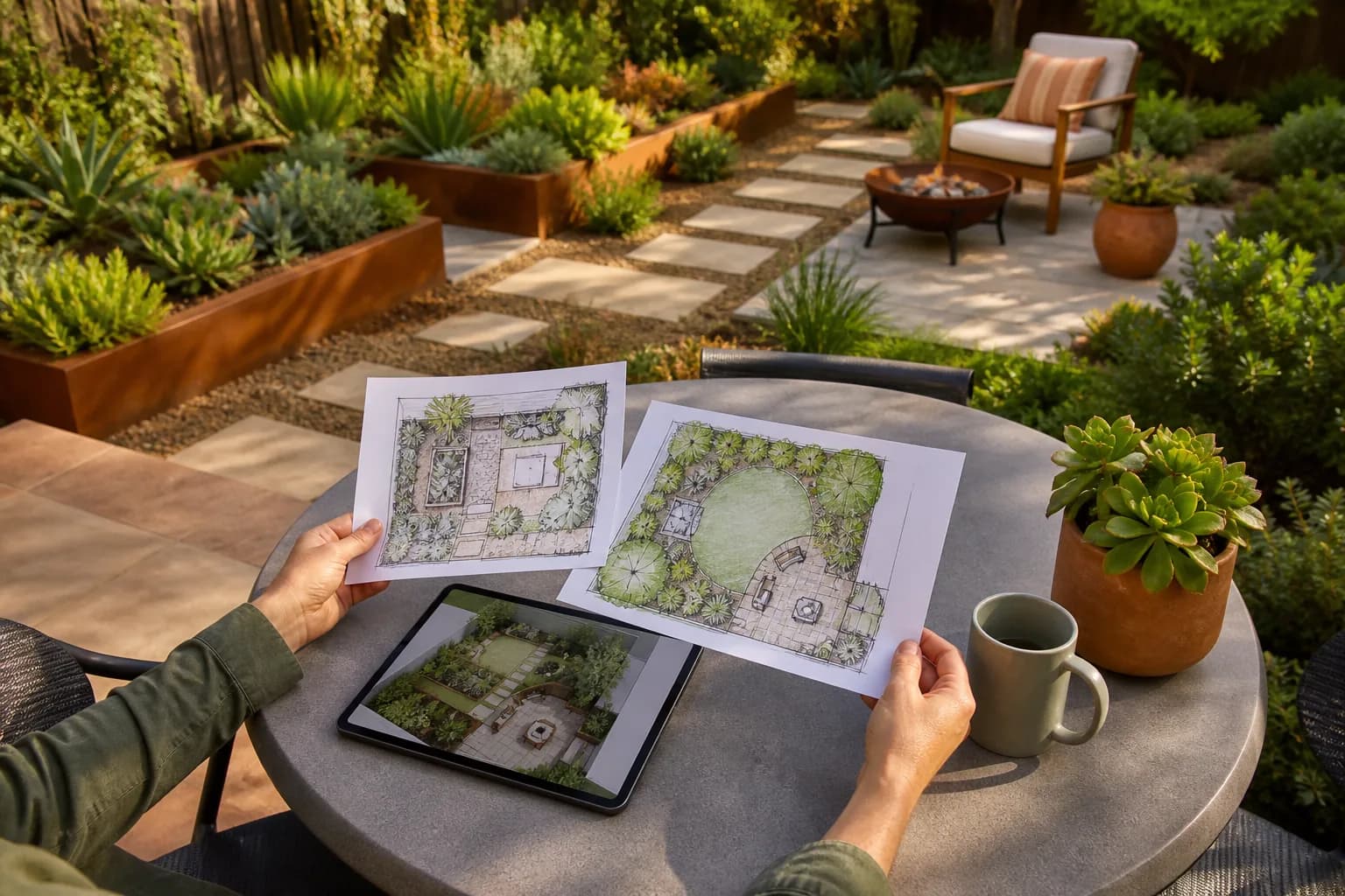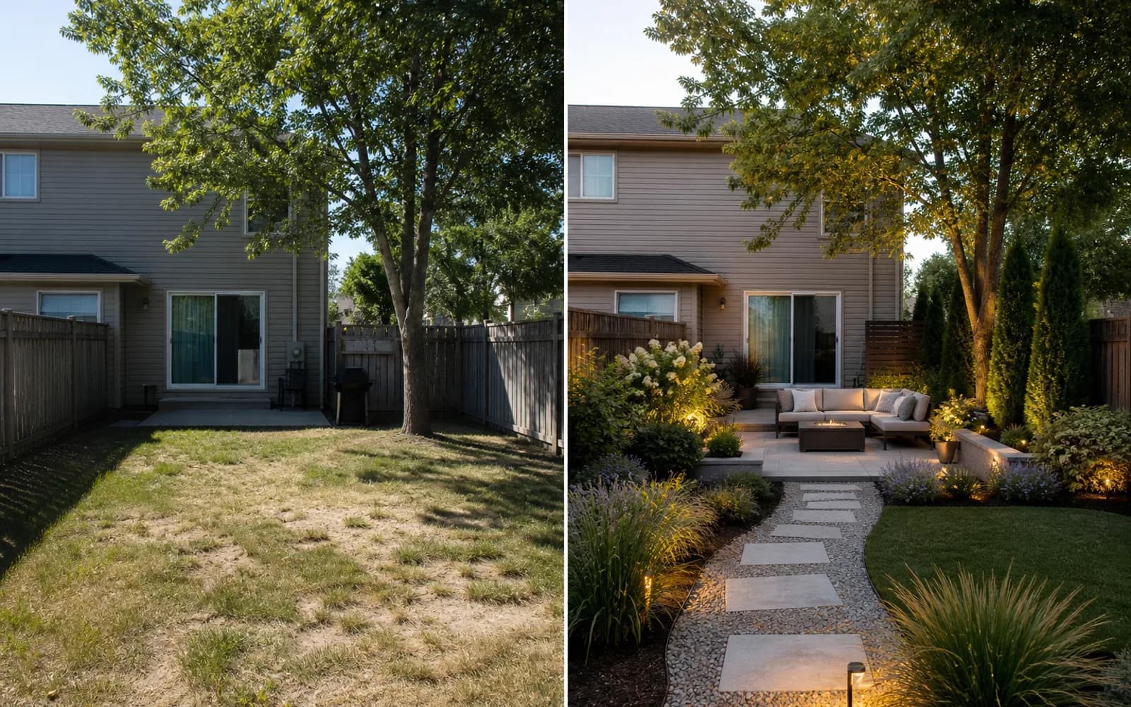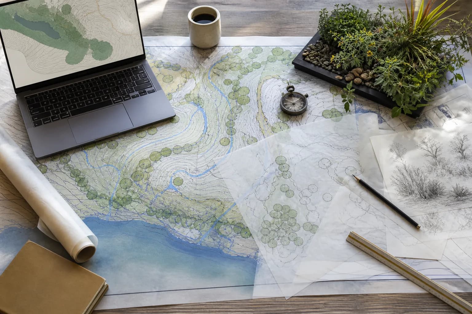
Open-source software is attractive when you want local files, no subscription dependency, and a workflow you can keep. The catch is that no single open-source landscape app combines an excellent plant library, precise CAD, terrain analysis, photoreal rendering, and construction documents.
We reviewed the official product, license, and repository pages for five projects on August 24, 2026. This is a documented capability guide, not a same-yard benchmark, so we do not invent speed, usability, or image-quality scores.
The one-minute answer: choose by output
Watch Open Garden Planner if you want a garden-specific measured 2D workflow; choose LibreCAD for a precise 2D base plan; use FreeCAD for a pergola, raised bed, screen, or other parametric 3D object; consider Sweet Home 3D when the house and patio must share one 2D/3D model; use QGIS for larger sites, contours, parcels, and geospatial data.
Five open-source landscape design tools compared
Use this table to shortlist by task rather than chase a universal score. Learning effort is an editorial judgment based on setup and workflow complexity, not a same-yard benchmark; a free web app, personal license, or trial is not automatically open source.
| Tool | Best for | Learning effort | Mac and offline | License | Main boundary |
|---|---|---|---|---|---|
| Open Garden Planner | Garden-specific 2D planning, plant records, and standard exports | Medium; higher on Mac | Source install on Mac; core drawing works offline, online plant search needs a connection | GPLv3 | A newer project whose community, installation, and cross-platform packaging need evaluation |
| Sweet Home 3D | House, doors, and adjacent patio in a 2D plan plus 3D view | Lower | macOS installer available; main downloaded app works offline | Free version under GPLv2 or later | Home/interior first; not a plant, grading, or drainage specialist |
| LibreCAD | Measured 2D boundaries, paths, beds, and base plans | Medium | macOS DMG available; local 2D drawing works offline | GPLv2 | No 3D, photoreal rendering, or garden-specific plant workflow |
| FreeCAD | Parametric 3D structures with editable dimensions | High | Intel and Apple Silicon installers; modeling works offline, add-ons need a download | LGPLv2+ | General engineering CAD with a real learning curve and no ready yard library |
| QGIS | Terrain, parcels, contours, and geospatial analysis | High | Signed macOS installer; local data works offline, online basemaps and plugins need a connection | GNU GPLv2+ | A site and mapping tool, not a fast small-yard visualizer |
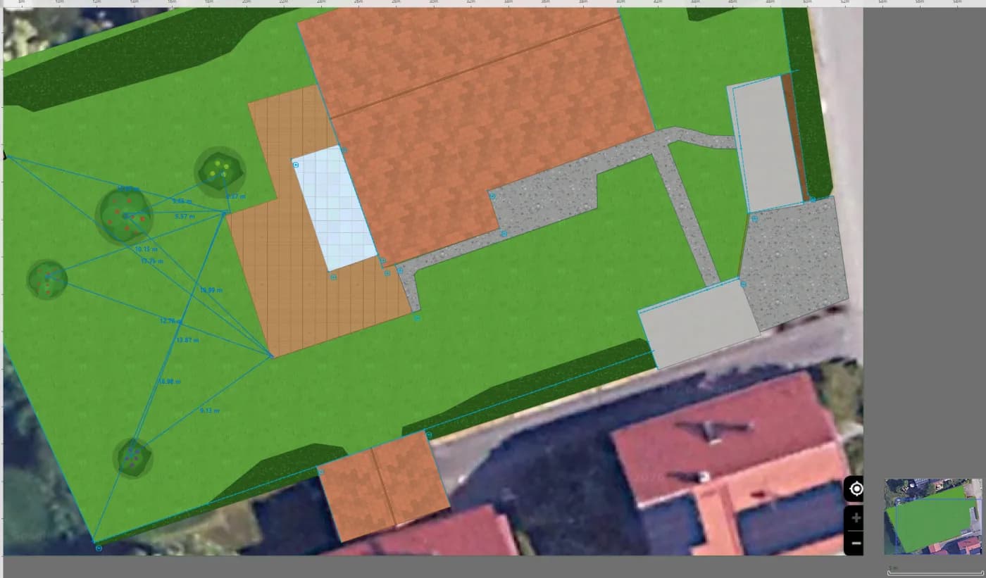
See the real interfaces and outputs before you download
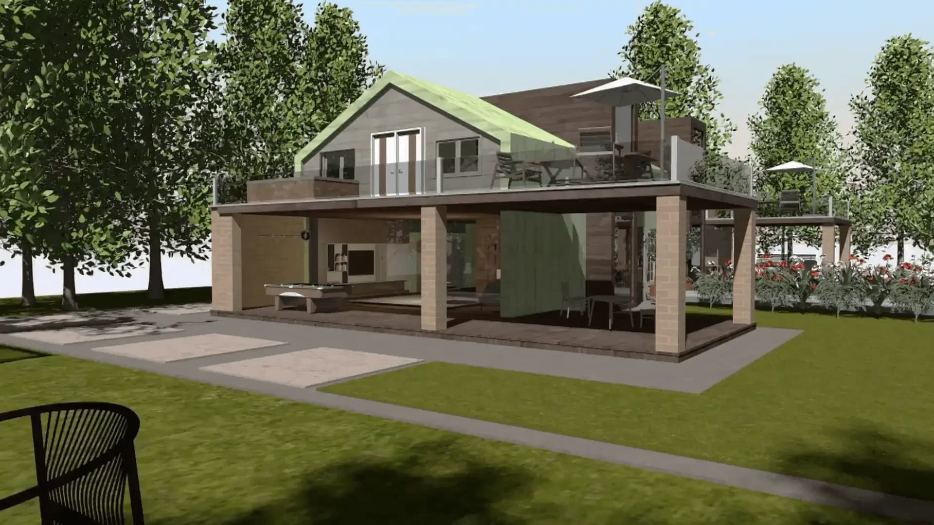
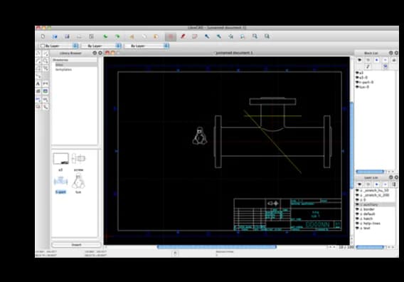
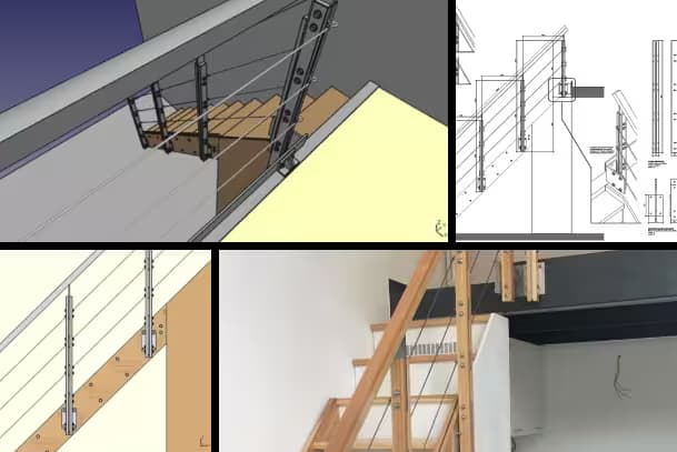
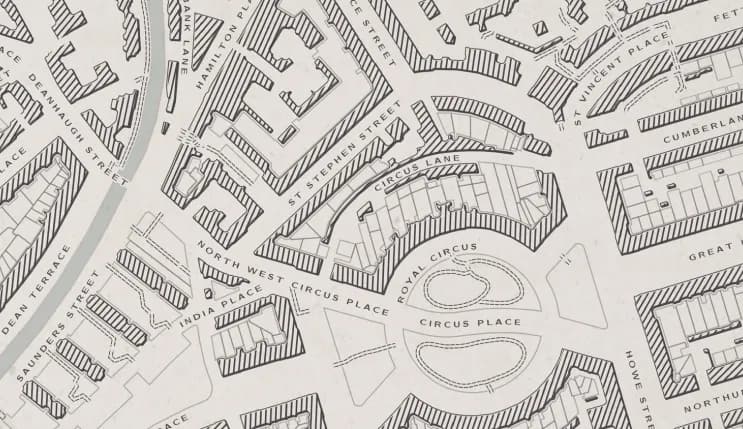
All five images come from an official project site or repository. They show different workflows, so visual polish alone is not a capability ranking.
If open source is optional and you want to compare free-forever, personal-use, and free-tier products, read our free landscape design software guide for homeowners.
Where each tool fits in a real yard project
Open Garden Planner: the most garden-specific option
Its repository lists image calibration, snapping, layers, plant metadata, and PNG, SVG, PDF, DXF, and CSV exports. That is closer to a garden workflow than general CAD, but it is still a comparatively small, evolving project. Test installation, saving, and export on a small area before trusting a large plan.
Sweet Home 3D: see the house and patio together
It draws a 2D home plan and shows the result in 3D, which helps when doors, windows, walls, furniture, and a nearby patio must be considered together. The free edition is GPL software, but the default library and workflow are home-first—not a replacement for planting, grading, or drainage design.
LibreCAD: a clean, measured 2D base plan
For boundaries, the house footprint, path widths, beds, and critical dimensions, mature 2D CAD can be more direct than a feature-heavy 3D app. You must create your own layers, symbols, and plant notes, and it will not produce a photoreal preview.
FreeCAD: parametric, editable 3D structures
FreeCAD suits pergolas, raised beds, steps, screens, or custom objects whose dimensions may change. Its official site lists many open interchange formats, but it is not a ready-made garden planner; terrain, plants, and presentation usually require additional learning or add-ons.
QGIS: when site information matters more than a render
QGIS edits and analyzes points, lines, polygons, rasters, and geospatial layers. It fits larger parcels, terrain, watersheds, land use, and map production. For an ordinary small backyard with tape measurements and photos, GIS may add complexity without improving the next decision.
A combined workflow that avoids wasted modeling
- Photograph the overview, entry, side, and problem area of the same yard; list the house, trees, and boundaries that must stay.
- If the direction is unclear, compare photo concepts for materials, activity zones, and style—without treating an image as a scaled plan.
- Measure the boundary, house, doors, trees, existing hardscape, elevation changes, and apparent drainage direction.
- Build a small-yard base in LibreCAD or Open Garden Planner; add QGIS only when a larger site or geospatial data justifies it.
- Model a structure separately in FreeCAD, or use Sweet Home 3D when the house-to-patio relationship is the main question.
- Before building, have qualified local professionals verify boundaries, utilities, drainage, structure, permits, fire rules, plants, and quantities.
What open-source software still cannot verify
- Whether the dimensions came from a reliable field measurement or survey
- Whether slope, stormwater, retaining walls, and foundations are safe
- Utilities, easements, HOA rules, and permit requirements
- Climate-appropriate plants shown at mature size for the actual sun and soil
- Accurate material quantities, labor, sequence, and local quotes
Frequently asked questions
What is the best open-source landscape design software?
There is no universal winner. Start with Open Garden Planner for garden-specific 2D, LibreCAD for precise 2D, FreeCAD for parametric 3D, Sweet Home 3D for the house and patio together, or QGIS for larger-site GIS work.
Is SketchUp Free open source?
No. SketchUp has a free web option for personal use, but free access does not mean the source code uses an open-source license.
Can open-source software redesign my yard from a photo?
The five tools here focus on 2D, 3D, or GIS workflows, not the same photo-generation job. You can compare a photo direction first, then rebuild the chosen idea with verified measurements.
Can these programs work offline?
Most are desktop tools that can run offline, but installation, basemaps, plugins, plant databases, or updates may require a connection. Check the exact tool and data source.
Can open-source landscape software produce construction drawings?
It can support drawing and modeling, but it does not automatically verify survey, drainage, structure, utilities, permits, or local codes. Qualified review is still required.
Does open source mean free for commercial use?
Do not rely on the label alone. The application, asset library, third-party models, basemaps, and plugins may each have different license terms.
The value of open source is control, local continuity, and transparent licensing—not one-click completion of an entire landscape project. Separate photo direction, the 2D base, 3D structures, and site analysis, and the choice becomes much clearer.
Validate installation, saving, export, and the handoff on a small area before putting the whole yard into any tool.