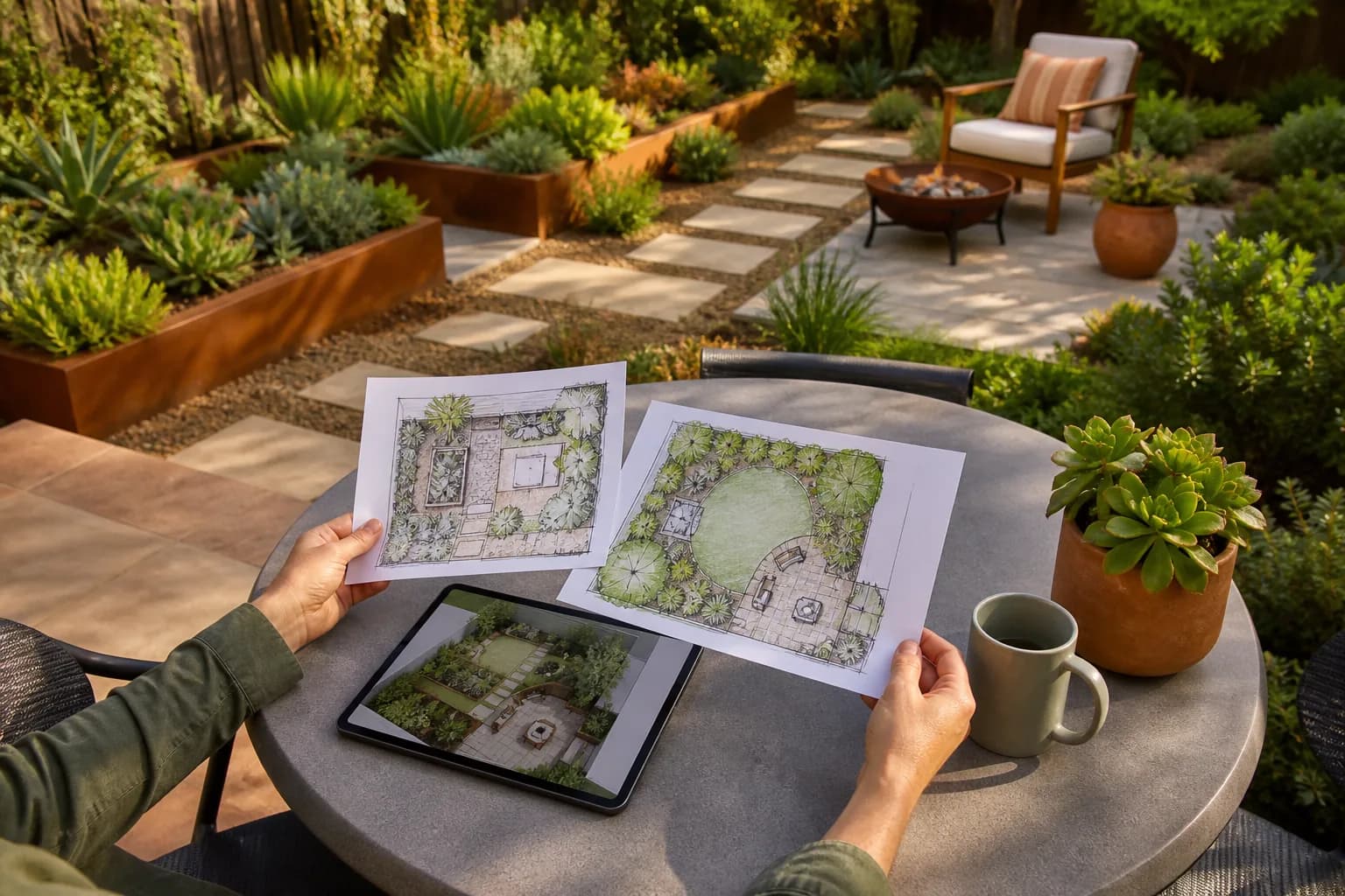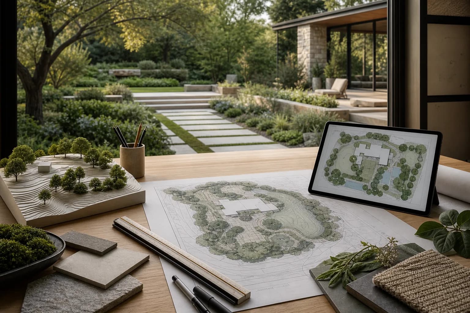
If you are choosing landscape software as a homeowner, designer, contractor, or student, the workflow matters: dimensions, layers, terrain, versions, plant data, and handoff become important when a concept must turn into a proposal.
We checked official product and license pages on August 25, 2026, and compared the way current search results separate GIS, CAD, 3D, and photo-concept tools. This is a documented capability guide, not a same-project speed or render-quality benchmark.
The short answer: choose by deliverable
Start with QGIS for parcels, contours, and terrain analysis; LibreCAD or commercial CAD for measured 2D drawings; FreeCAD for editable structures; Blender for terrain, vegetation, and visualization; professional landscape suites when plants, documents, and collaboration must live together; and a photo-concept tool when a client needs to discuss direction first.
Seven tools in one comparison
This matrix assigns a workflow job instead of inventing a universal score. Recheck price, limits, and licensing before a commercial project.
| Tool | Best for | Free or low-cost path | Main boundary |
|---|---|---|---|
| QGIS | Site, terrain, contours, geospatial data | Open-source GPL | GIS learning curve; not a quick renderer |
| LibreCAD | Measured 2D base plans and layers | Open-source GPL | No plant library or 3D rendering |
| FreeCAD | Editable parametric structures | Open-source LGPL project | General engineering CAD; build your own assets |
| Blender | Terrain, vegetation scattering, visualization | Open-source GPL | Higher modeling and asset-management cost |
| SketchUp Free | Fast browser-based massing and discussion | Personal-use free tier | Not open source; commercial output is limited |
| Vectorworks Landmark | Landscape BIM, plants, and construction documents | Trial or education license | Full commercial license is expensive |
| GardenGPT | Visual directions on the real yard photo | Use the current product plan | Not CAD, a scale plan, or construction software |
Where each tool fits in a professional workflow
QGIS and 2D CAD
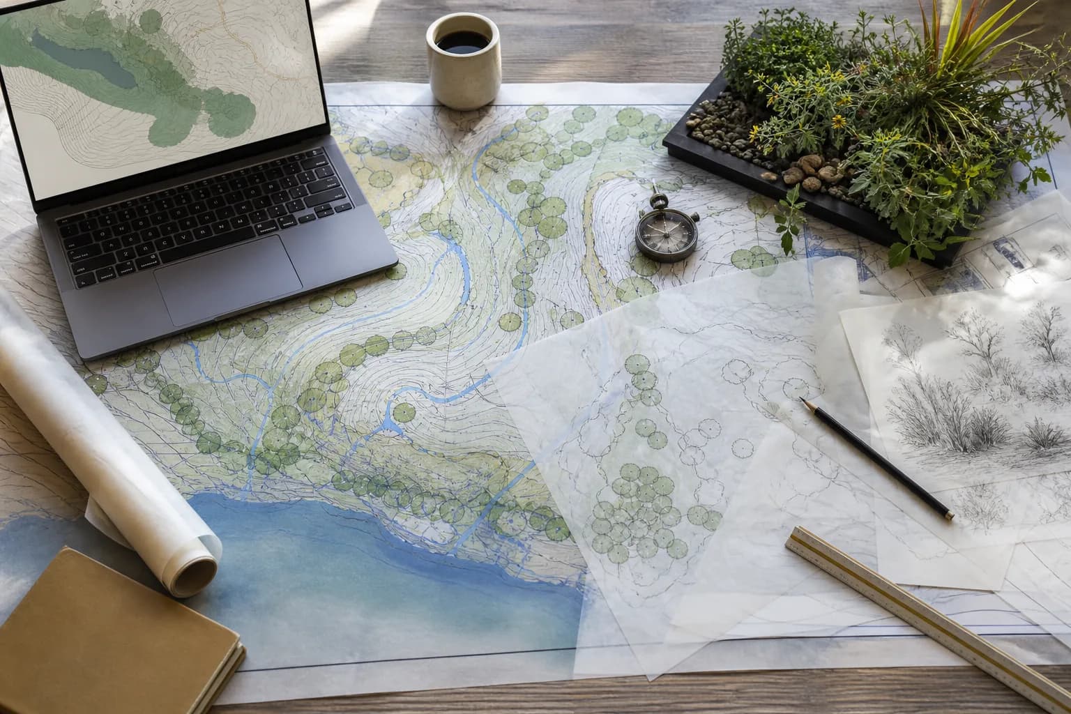
QGIS can bring together parcels, contours, aerial data, and terrain relationships. LibreCAD can then make boundaries, building footprints, paving, paths, planting zones, and dimensions legible to the next person. A small yard with only tape-measure notes may not need GIS.
FreeCAD and Blender
FreeCAD is a better fit for dimension-driven steps, raised beds, pergolas, screens, and other objects that will change. Blender is stronger for materials, terrain, vegetation scattering, and camera views. Neither is an out-of-the-box landscape proposal system.
Professional landscape suites
Products such as Vectorworks Landmark combine landscape objects, plant information, drawings, and documentation. They make more sense for a team that delivers projects repeatedly; test imports, versions, printing, schedules, and collaboration with a real sample first.
A low-risk selection process
- List the deliverable: concept, scaled plan, site analysis, 3D model, plant schedule, or construction document.
- Test one small project for import, layers, dimensions, save/reopen, PDF/DXF export, and print scale.
- Keep photo concepts separate from measured plans: the first communicates direction, the second supports quantities and construction discussions.
- Use a combination workflow when one tool lacks plants, terrain, or documentation instead of forcing it to do everything.
- Before quoting or building, have a qualified local professional check boundaries, utilities, drainage, structure, permits, and quantities.
Where GardenGPT belongs
GardenGPT turns photos of the actual yard into visual directions for materials, zones, enclosure, and style. It does not read survey measurements or output CAD for staking, drainage, structures, or permits.
Frequently asked questions
What free tool should a professional learn first?
Choose by output: QGIS for site analysis, LibreCAD for 2D drafting, FreeCAD for structures, and Blender for visualization. No free tool covers the full workflow.
Is SketchUp Free open source?
No. It is a personal-use free tier, not an open-source license.
Can free software create construction drawings?
It can help draft them, but accuracy still depends on survey data, code, engineering, and professional review.
Can AI landscape tools replace CAD?
No. Photo concepts support early communication; CAD, GIS, and professional suites handle scale, data, documents, and handoff.
The best tool is the one that produces the file your next collaborator needs. Define that handoff, test a small project, and only then commit to a larger workflow.